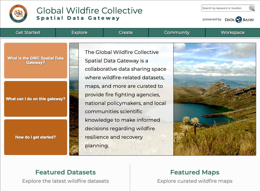
The Global Wildfire Collective Spatial Data Gateway is a collaborative data sharing space where wildfire-related datasets, maps, and more are curated to provide fire fighting agencies, national policymakers, and local communities with scientific knowledge to make informed decisions regarding wildfire resilience and recovery planning. The tool is free to use, so be sure to sign up for an account and share with your colleagues! We will continually work to populate the gateway with fire-relevant datasets and maps, but you can import and publish any data you’d like to see in the gateway as well.
Link: Global Wildfire Collective Spatial Data Gateway
Link: Short video overview